Photographic Repository
Documenting the changing visual landscapes of Glen Canyon, Lake Powell, and the Colorado River channels.
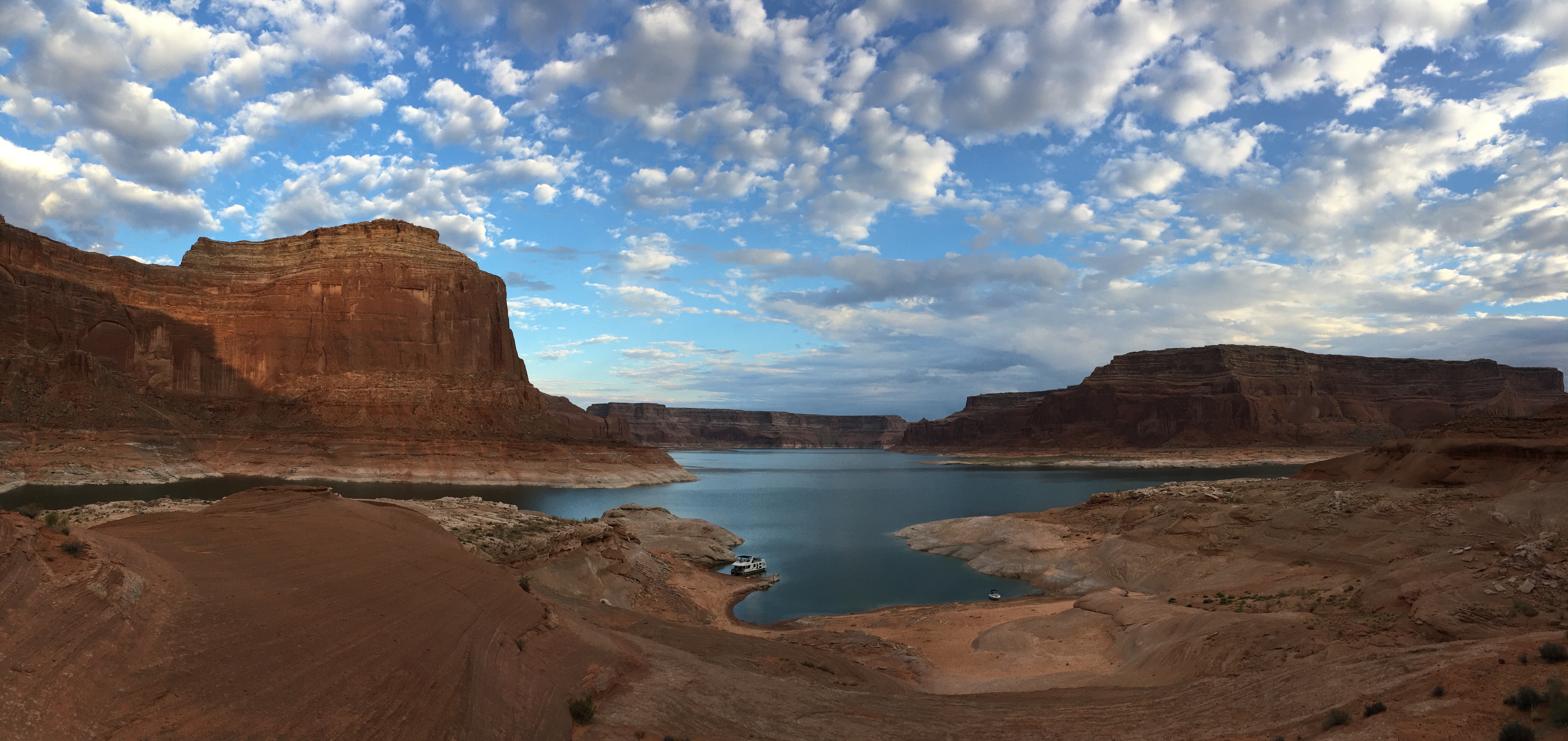
Cathedral in the Desert
Looking up at the towering sandstone dome of Cathedral in the Desert in Clear Creek Canyon. The trickle of Clear Creek flows through the base.
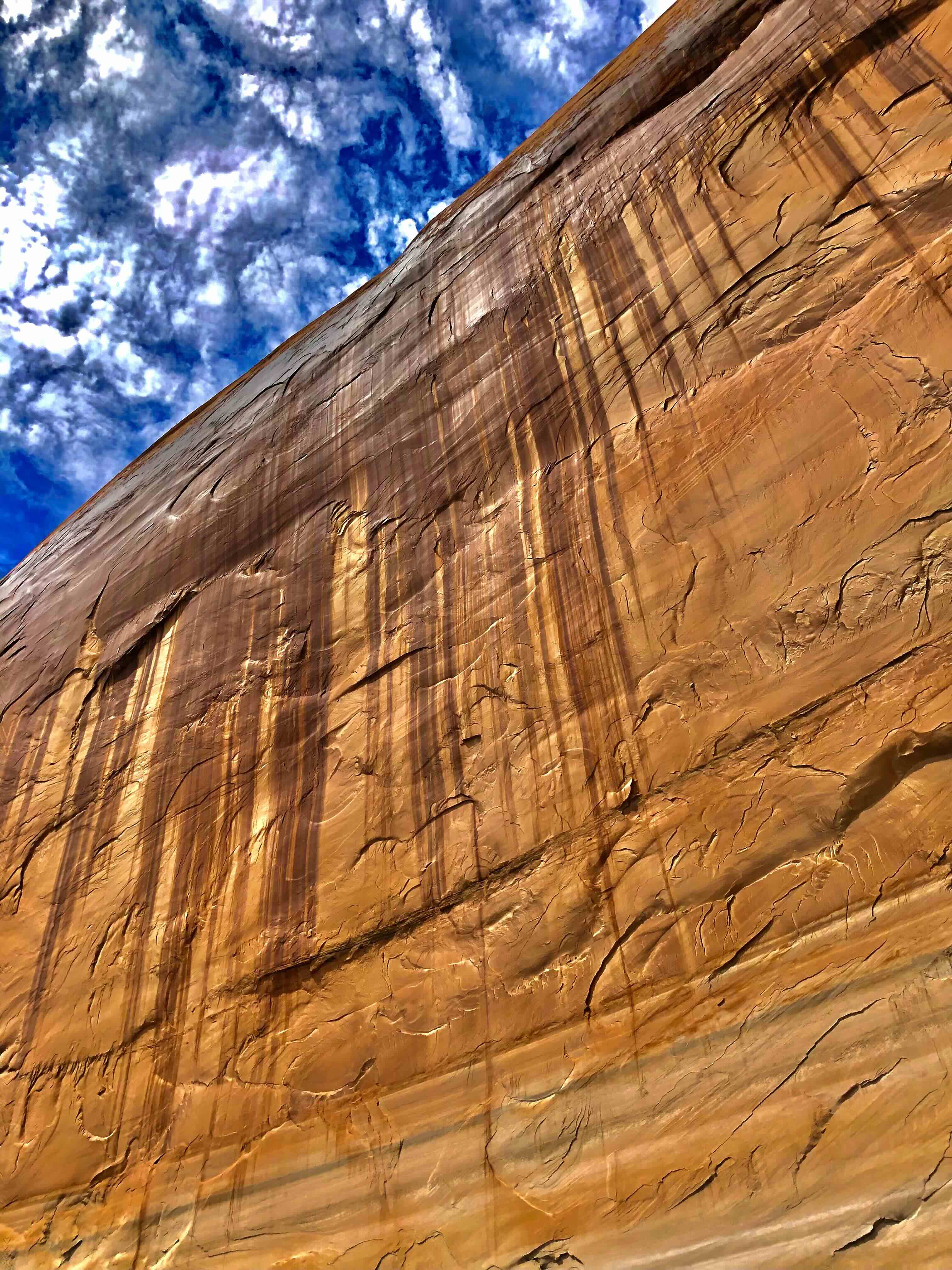
Reflection Canyon S-Curve
View from the high overlook showing the classic S-curve sandstone patterns with the reservoir at a moderate elevation of 3620 feet.
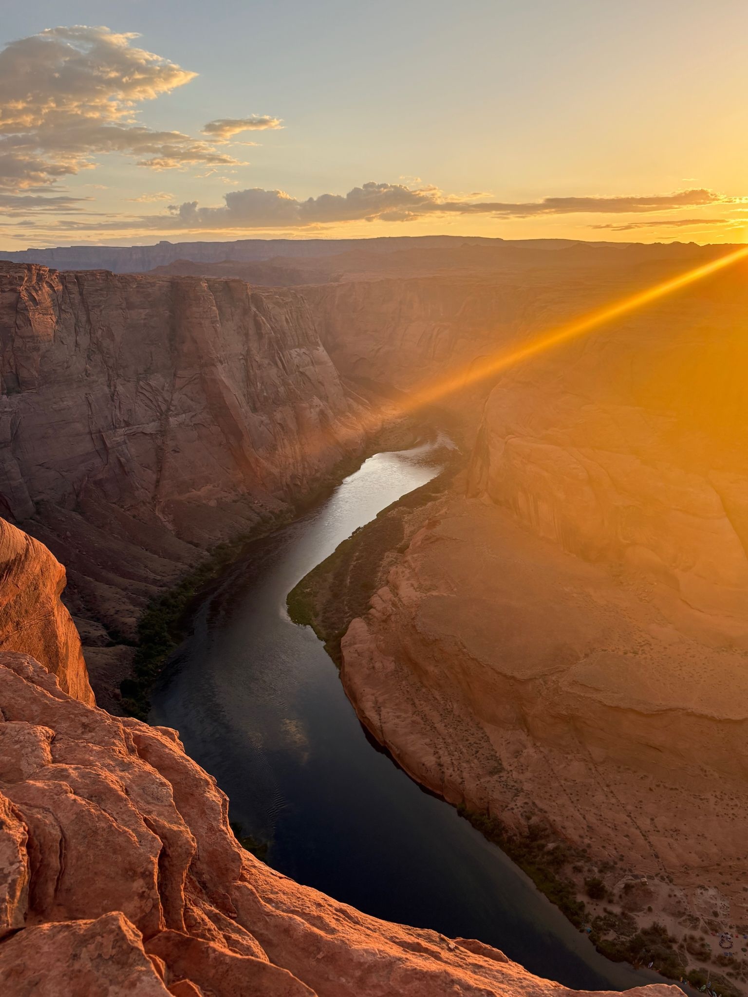
Gregory Natural Bridge
Historic photo capturing the massive Gregory Natural Bridge almost fully submerged as the reservoir reached its peak operating capacity.
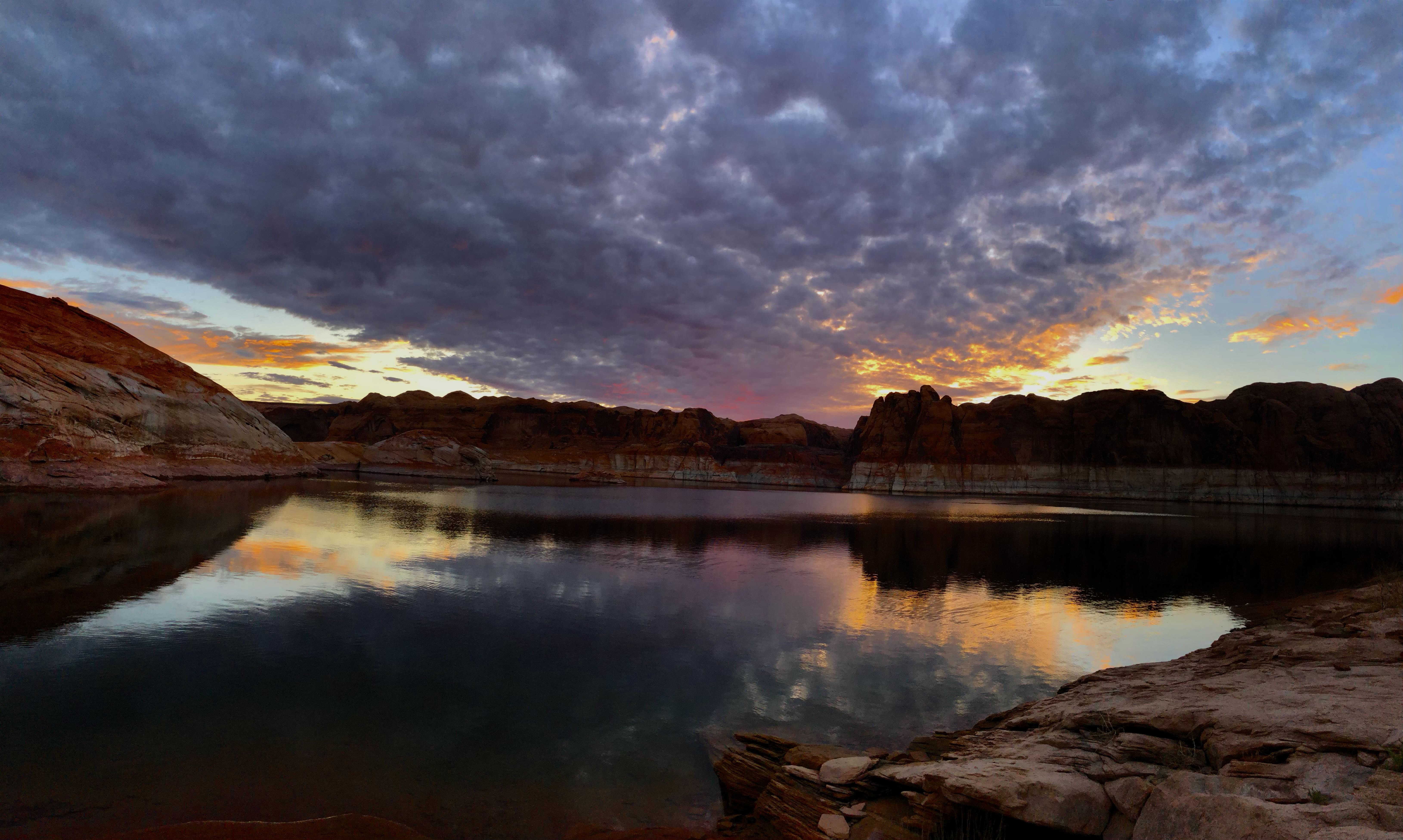
Labyrinth Canyon Narrows
Kayak exploring the emerging narrow slot canyon walls of Labyrinth Canyon as water levels receded to historically low elevations.
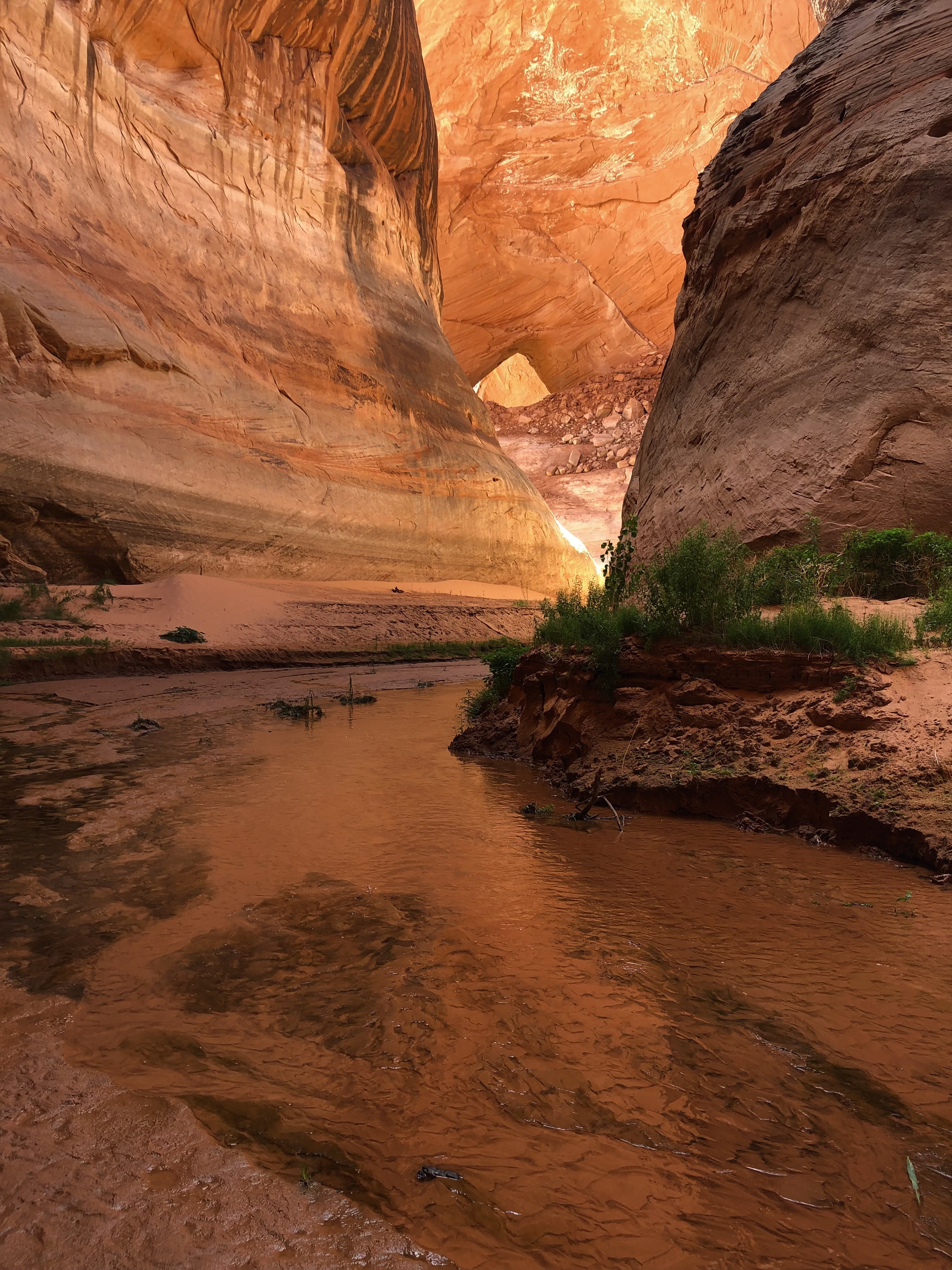
Hite Crossing Delta
The Colorado River carving a channel through decades of accumulated silt and sediment delta formations at Hite as Lake Powell receded southward.
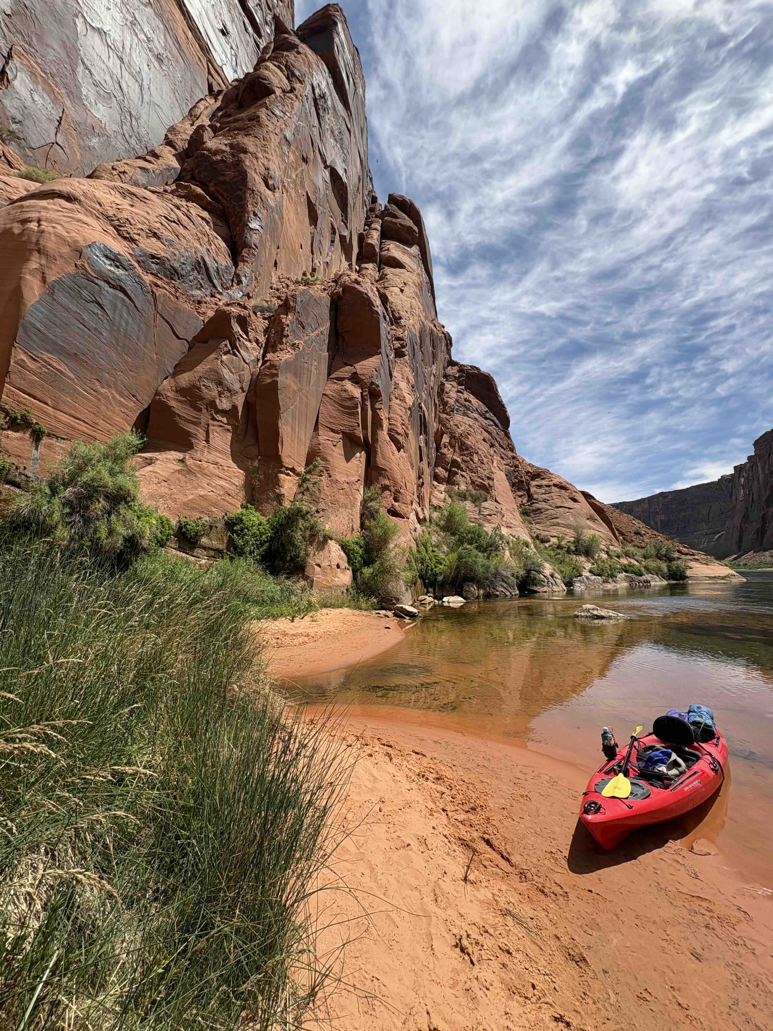
Lees Ferry Crossing Point
Historic view looking downstream near the original ferry crossing point, before the completion of the Glen Canyon Dam upstream.