An Incomplete Guide to Lake Powell
A geographic and historic exploration index of the side channels, narrows, and bends of the reservoir system.
Introduction to the Guide
This exploration guide is cataloged section-by-section starting from the southern terminus of Glen Canyon Dam near Page, Arizona, and proceeding upstream to the northern reaches near Hite, Utah. It covers the major side canyons, geological formations, historic camps, and navigating conditions.
Because the reservoir levels fluctuate, coordinates and details in this guide note changing conditions. Many slot canyons that were once completely submerged are now accessible to kayakers and hikers. Keep safety in mind, research weather patterns (especially flash flood risks), and pack out all waste.
Wahweap to Cornerstone Canyon
Geographic Description: This section encompasses the wide bays of the lower reservoir. Navigating north past Wahweap Bay, the channel passes through the narrow rock gates of Castle Rock Cut (passable at water levels above 3580 ft) and enters Padre Bay, the largest open body of water on the reservoir.
Points of Interest:
- Labyrinth Canyon (Mile 16): A narrow, winding slot canyon popular for kayaking. At low reservoir elevations, hikers can walk the sandy floor between vertical sandstone walls.
- Crossing of the Fathers (Mile 22): The historic site where the Domínguez-Escalante expedition crossed the Colorado River in 1776, now submerged under Padre Bay.
Dangling Rope to the Mouth of the San Juan
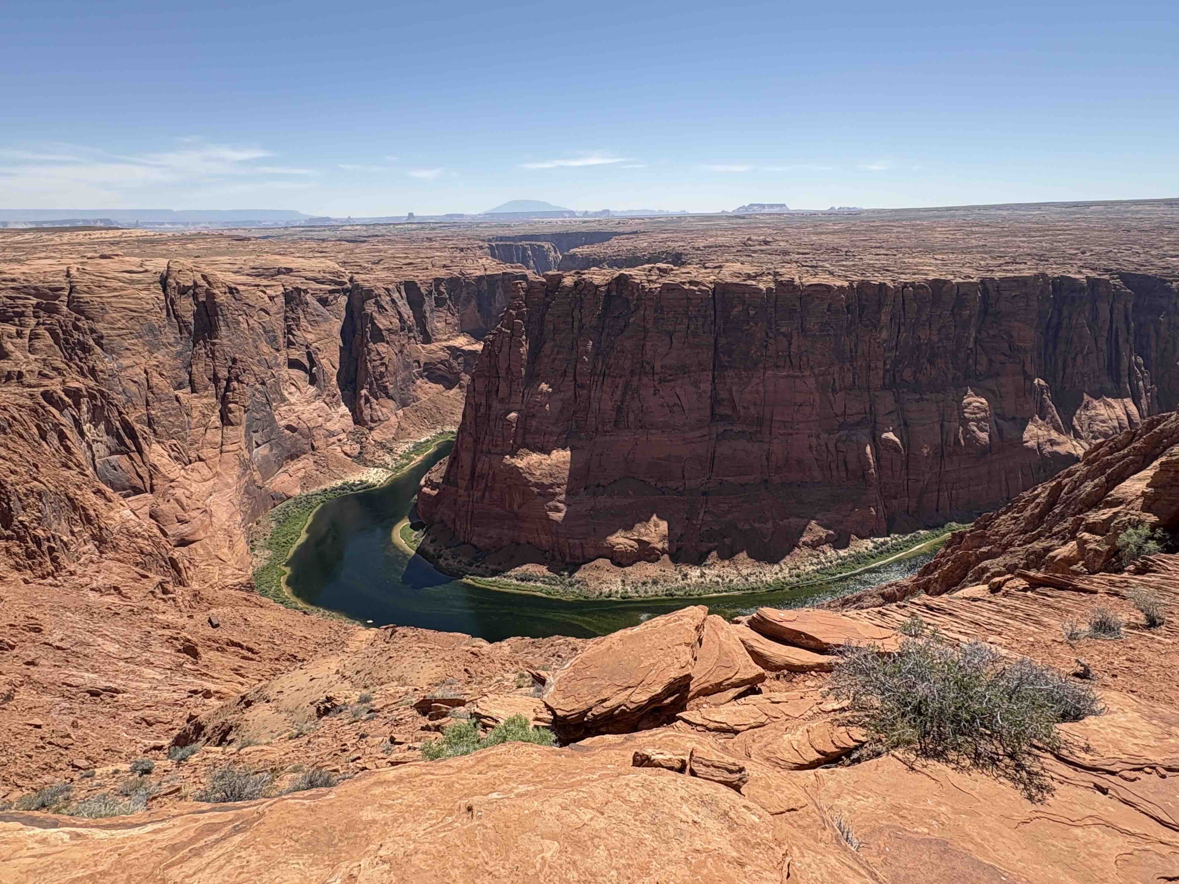
Geographic Description: As the channel narrows, the reservoir runs between sheer sandstone cliffs. Navigating this corridor requires caution due to blind bends and boat wakes reflecting off the rock faces.
Points of Interest:
- Forbidding Canyon (Mile 50): The gateway bay that leads to Rainbow Bridge National Monument. Boaters can dock at the floating walkway and hike the trail to view the world's largest natural stone span.
- Dangling Rope (Mile 43): Historically a floating marina supplying fuel and water, decommissioned due to lowering water levels.
San Juan River Arm
Geographic Description: Branching east from the main channel, the San Juan Arm snakes through hundreds of tight loops. The upper reaches are characterized by shallow water, sandbars, and significant sediment delta formations from the San Juan River flows.
Points of Interest:
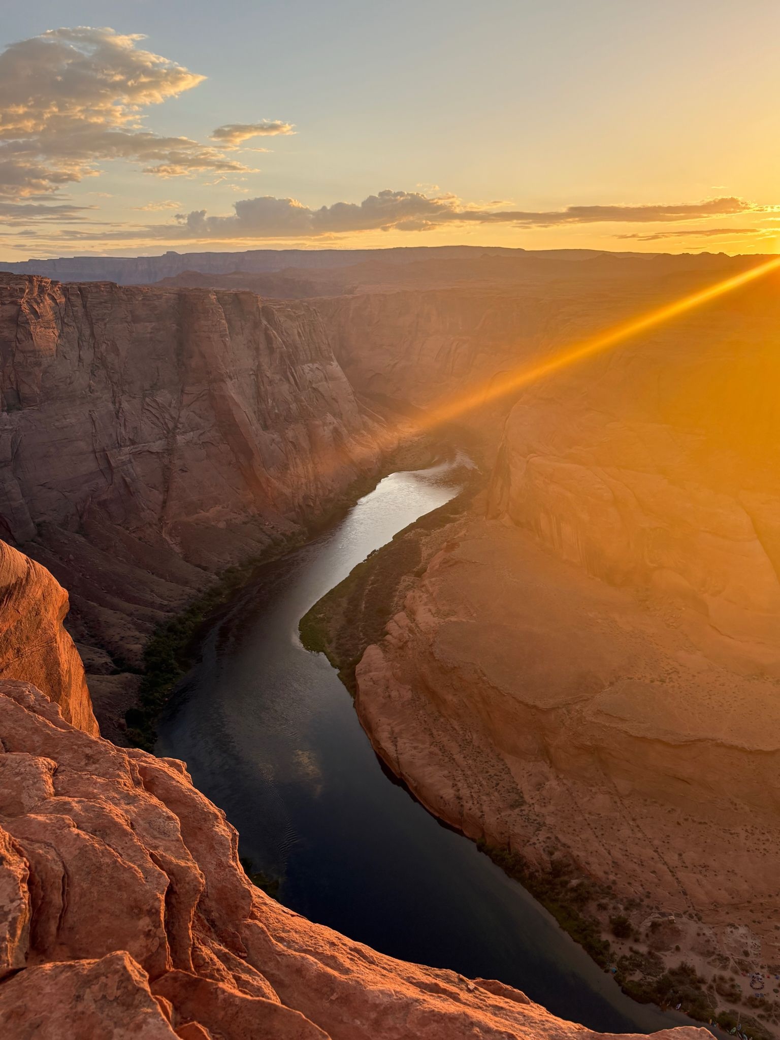
- The Great Bend: A spectacular incised meander loop where the canyon wall towers 1,000 feet above the water.
- Cha Canyon: A scenic side canyon featuring Anasazi petroglyphs and ruins above the high water line.
Mouth of the San Juan to the Mouth of the Escalante
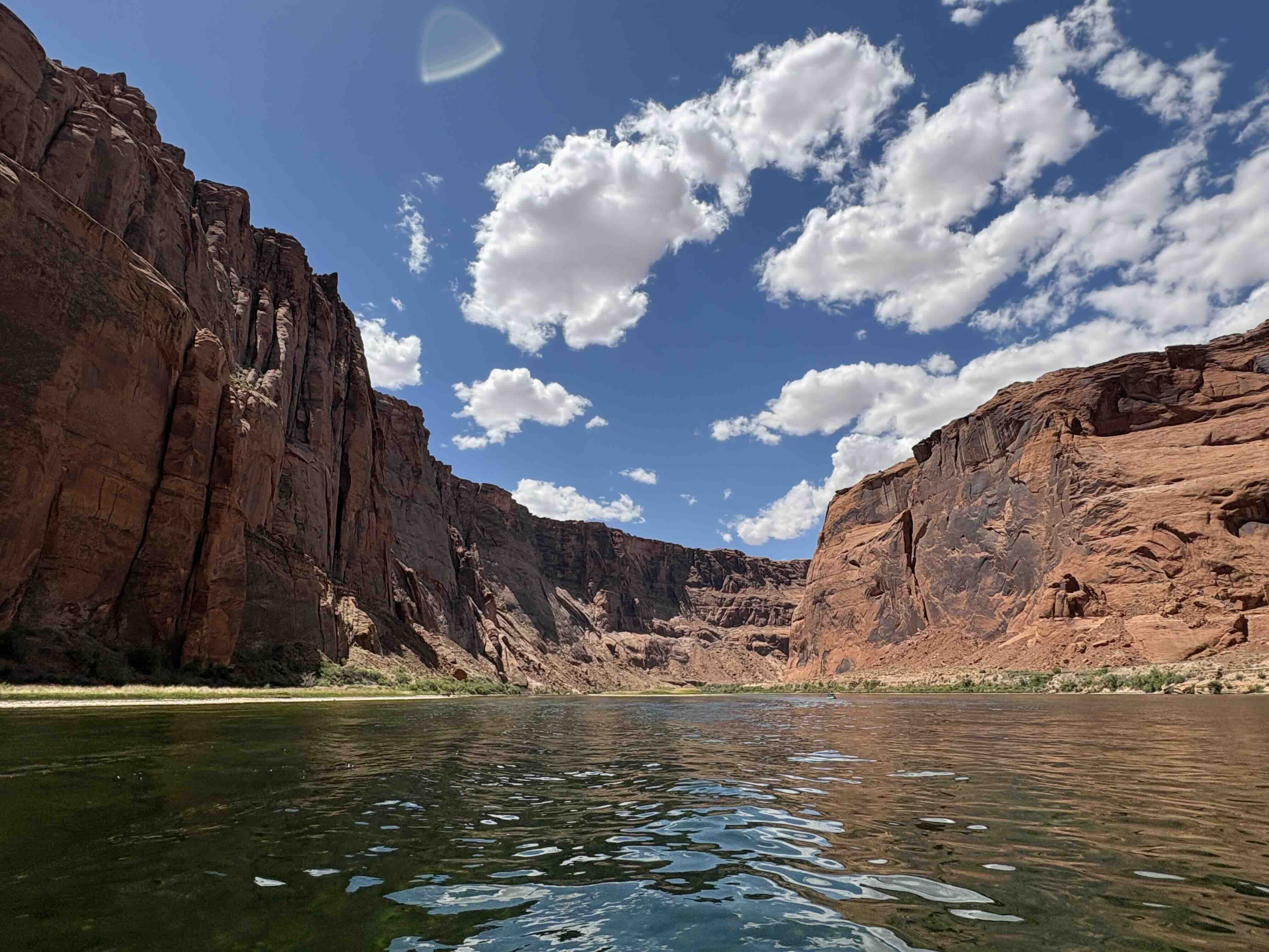
Geographic Description: A dramatic corridor where the Colorado River carved a deep canyon through the Waterpocket Fold geological ridge. Sandstone colors shift from deep red to yellow-white.
Points of Interest:
- Reflection Canyon (Mile 73): A narrow, curving tributary that forms a symmetric S-curve, famous as a photographer's destination. Only accessible by boat or a strenuous overland trek across the Escalante plateau.
Escalante River Arm
Geographic Description: The Escalante River Arm is the most famous tributary drainage for slot canyons, springs, arches, and hanging gardens. It features towering amphitheaters and historic exploration routes.
Points of Interest:
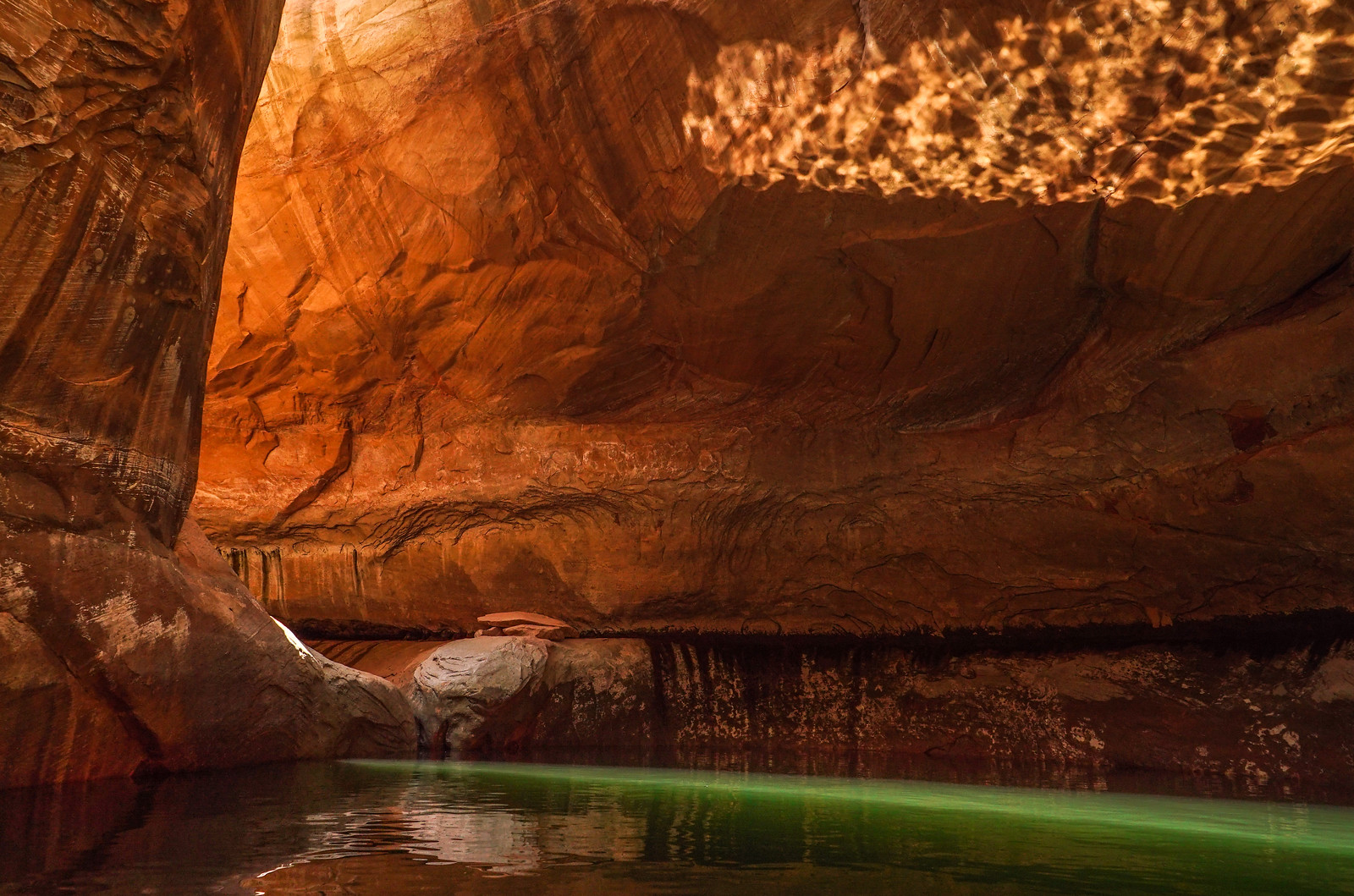
- Cathedral in the Desert (Clear Creek): A breathtaking sandstone chamber. When reservoir levels drop below 3560 ft, the lake water fully drains out, revealing the original waterfall pool.
- Coyote Gulch: A lush canyon featuring Jacob Hamblin Arch and Stevens Arch, popular with backpackers.
Escalante River to Halls Creek
Geographic Description: Moving north, the canyon opens into wide valley sections. The most prominent feature is The Rincon, an ancient abandoned meander of the Colorado River that loops around a central sandstone mesa.
Bullfrog to Hite
Geographic Description: This northern section transitions from the deep reservoir pool back into the active river system of the upper Colorado. The water levels here are highly variable, and boating past Bullfrog is often restricted by sandbars and massive silt accumulations.
Points of Interest:
- Hite Crossing (Mile 140): The northernmost point of the Recreation Area, where the Hite Bridge spans the river. Heavily affected by sediment, the river channel here is actively carving a path through old silt banks.