Glen Canyon Revealed
A living archive of history, photography, maps, journals, and analysis exploring Glen Canyon and the Colorado River system.
An Archive of Changing Landscapes
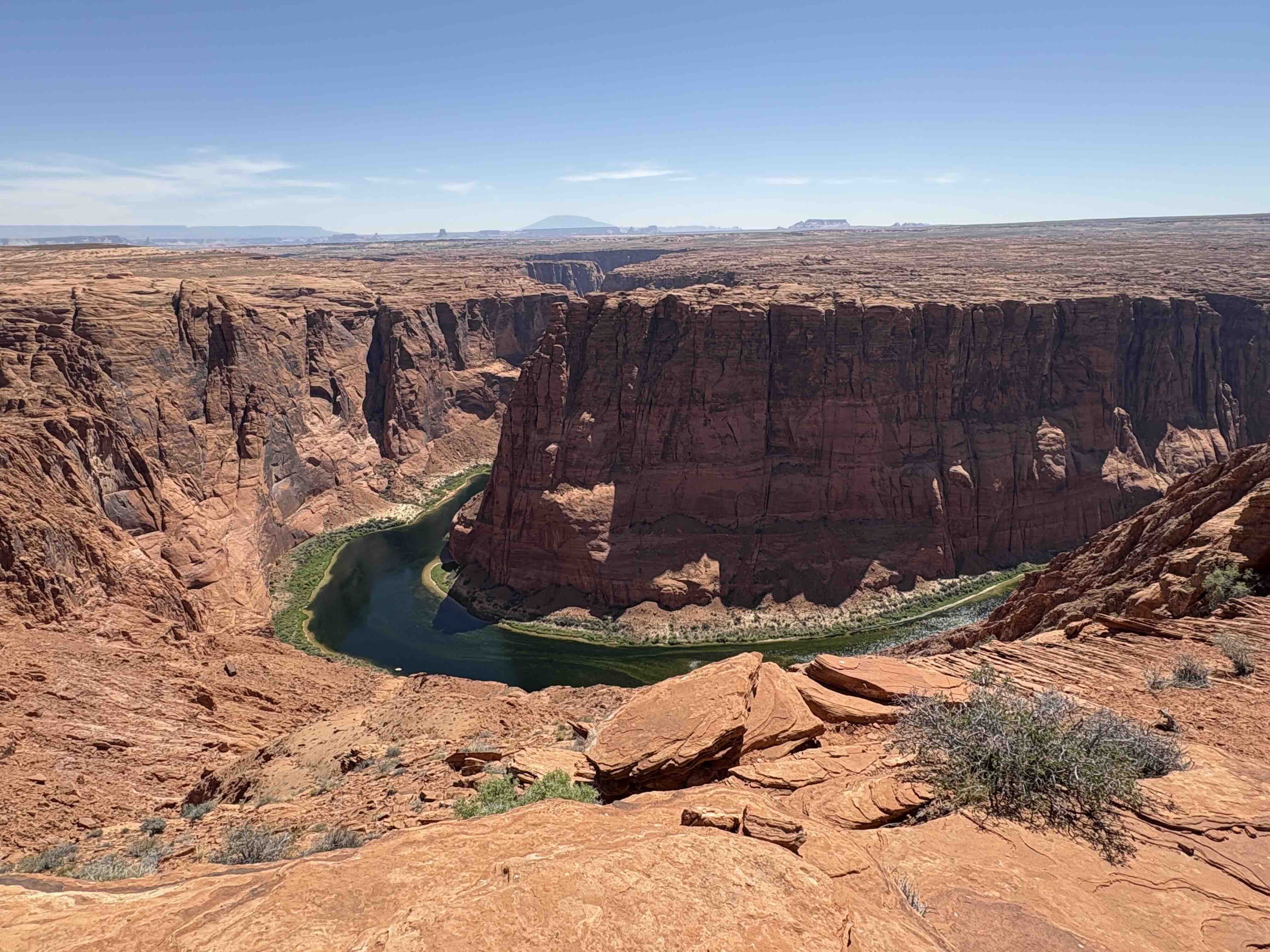
Before it was submerged under Lake Powell in 1963, Glen Canyon was one of the most spectacular, ecologically diverse, and culturally significant canyon systems on the Colorado River. This website serves as a permanent scholarly repository—a digital home for the maps, logs, and photographs that document what was lost, what remains, and how the river system continues to evolve today.
Here you will find a curated archive containing historical maps from early survey expeditions, pre-dam photography, decades of personal field journals, detailed geographic logs of Lake Powell's changing levels, and objective analyses of Colorado River hydrology and water management policies.
Explore the Archive Sections
Maps & Charts
Historical and modern maps documenting Glen Canyon and the Colorado River system, including USGS Quadrangles and custom routes.
View Maps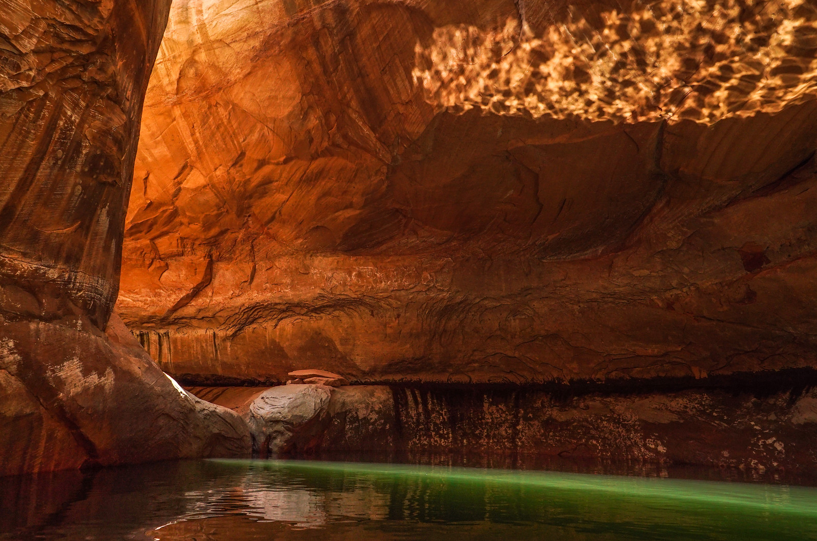
Photography Archive
Dozens of images documenting changing landscapes through time, including pre-dam historical photos and contemporary monitoring.
View Gallery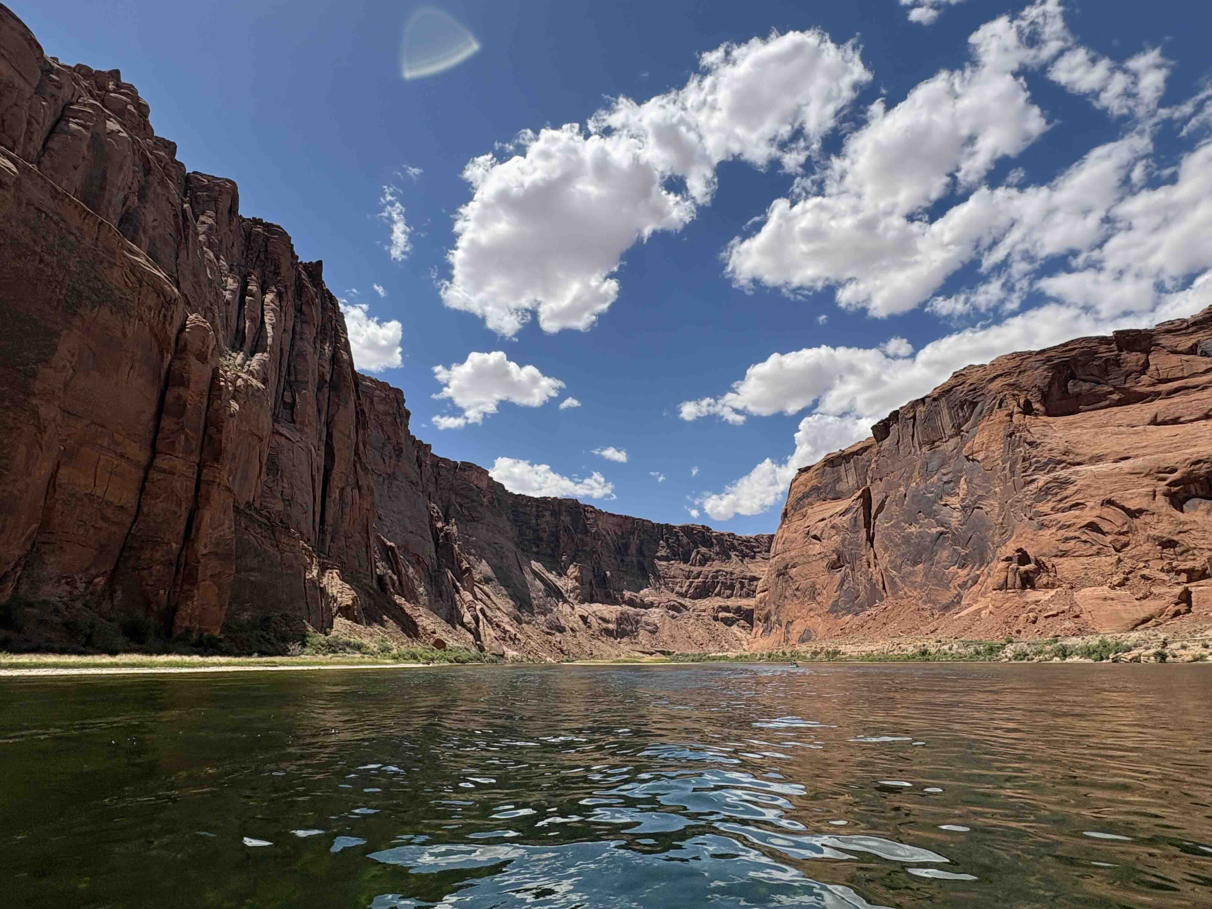
Articles & Analysis
Scholarly essays, hydrological policy reviews, historical commentary, and detailed geological and ecological investigations.
Read Articles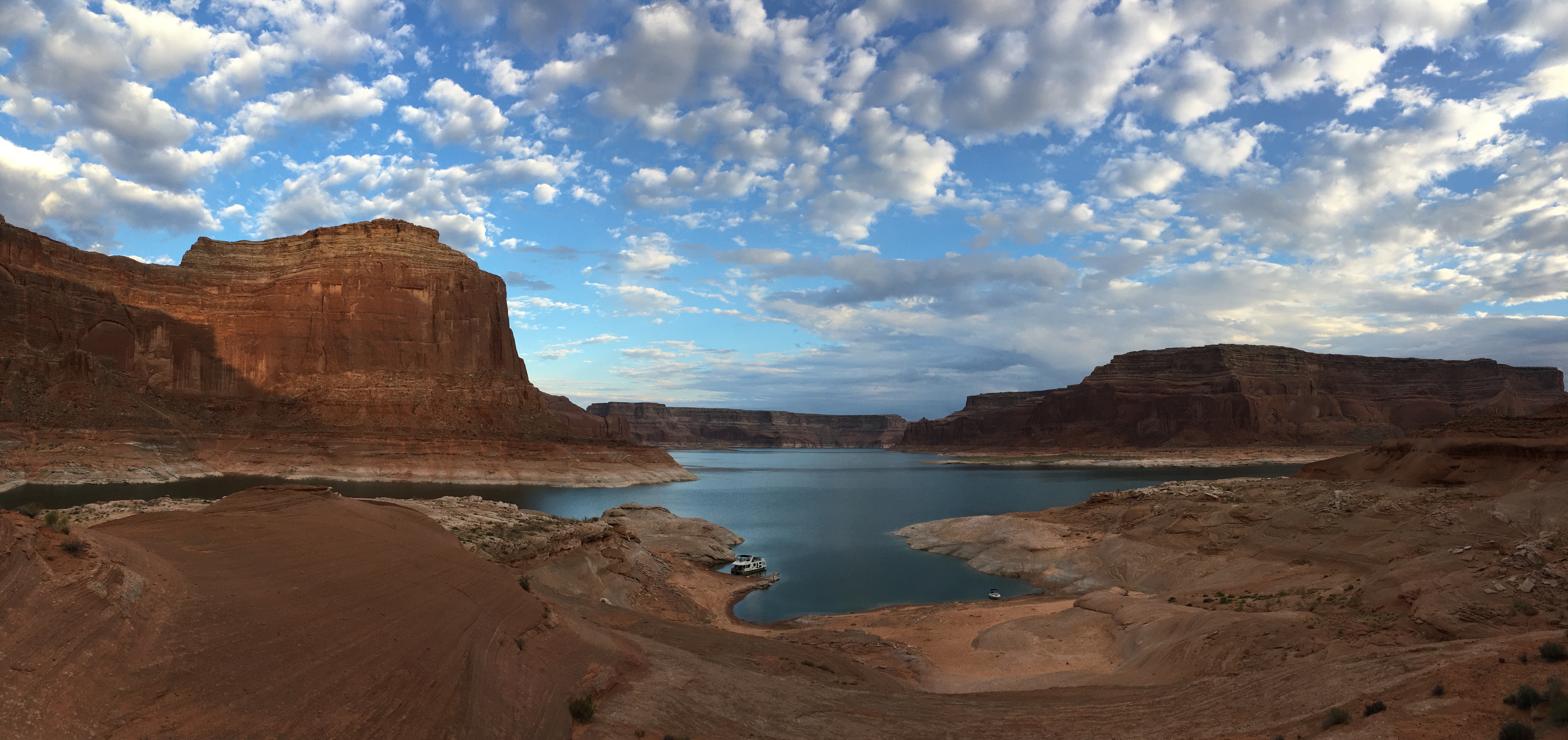
Field Journals
Decades of direct field observations, personal logs, expedition notes, and raw reflections capturing the spirit of exploration.
Read Journals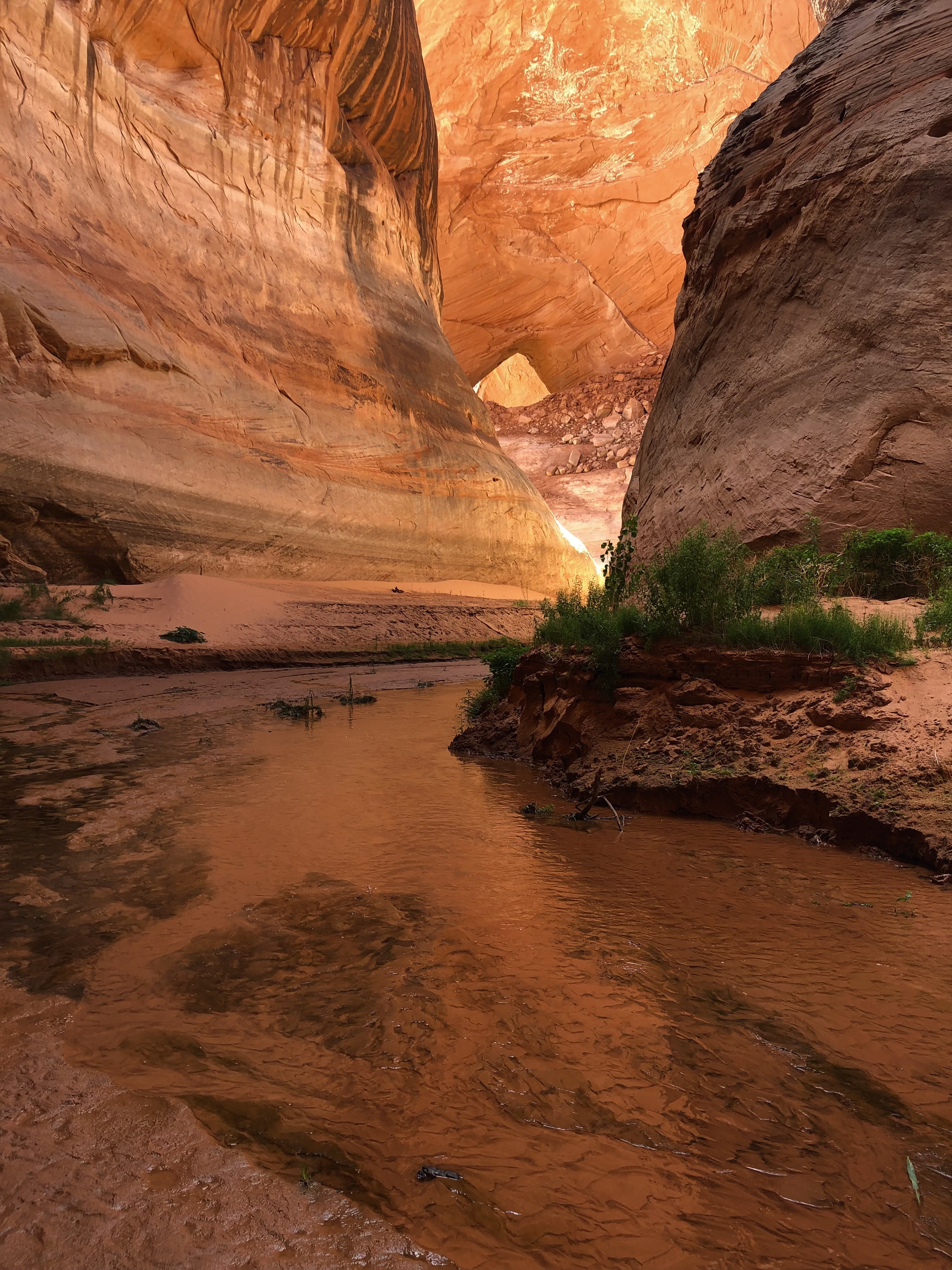
Lake Powell Guide
A detailed, premium geographic guide exploring the slots, side channels, ruins, and sections from Wahweap to Hite.
Explore Guide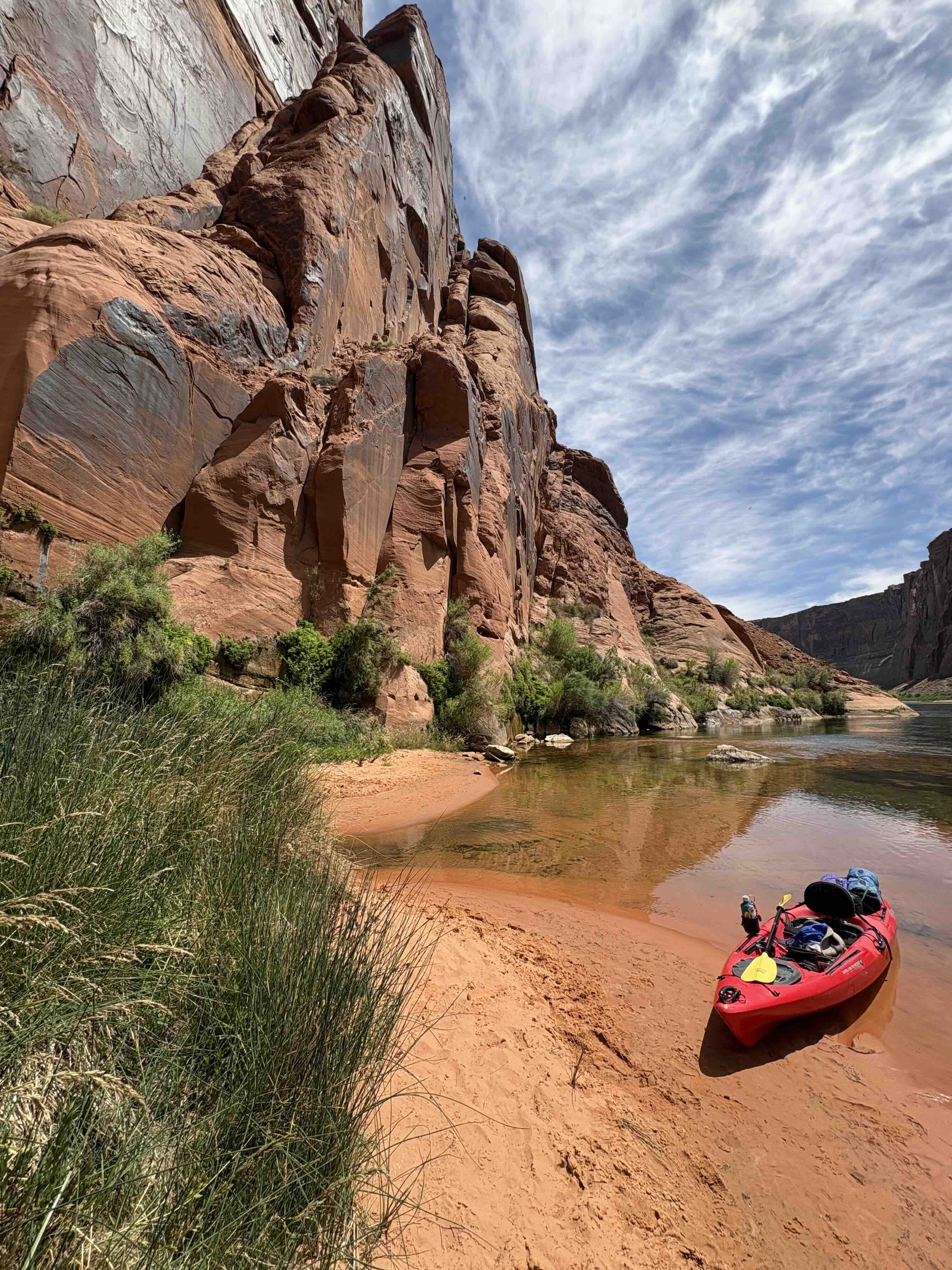
Resource Library
A digital database of referenced literature, technical studies, websites, and external reports on the Colorado River Basin.
Browse Library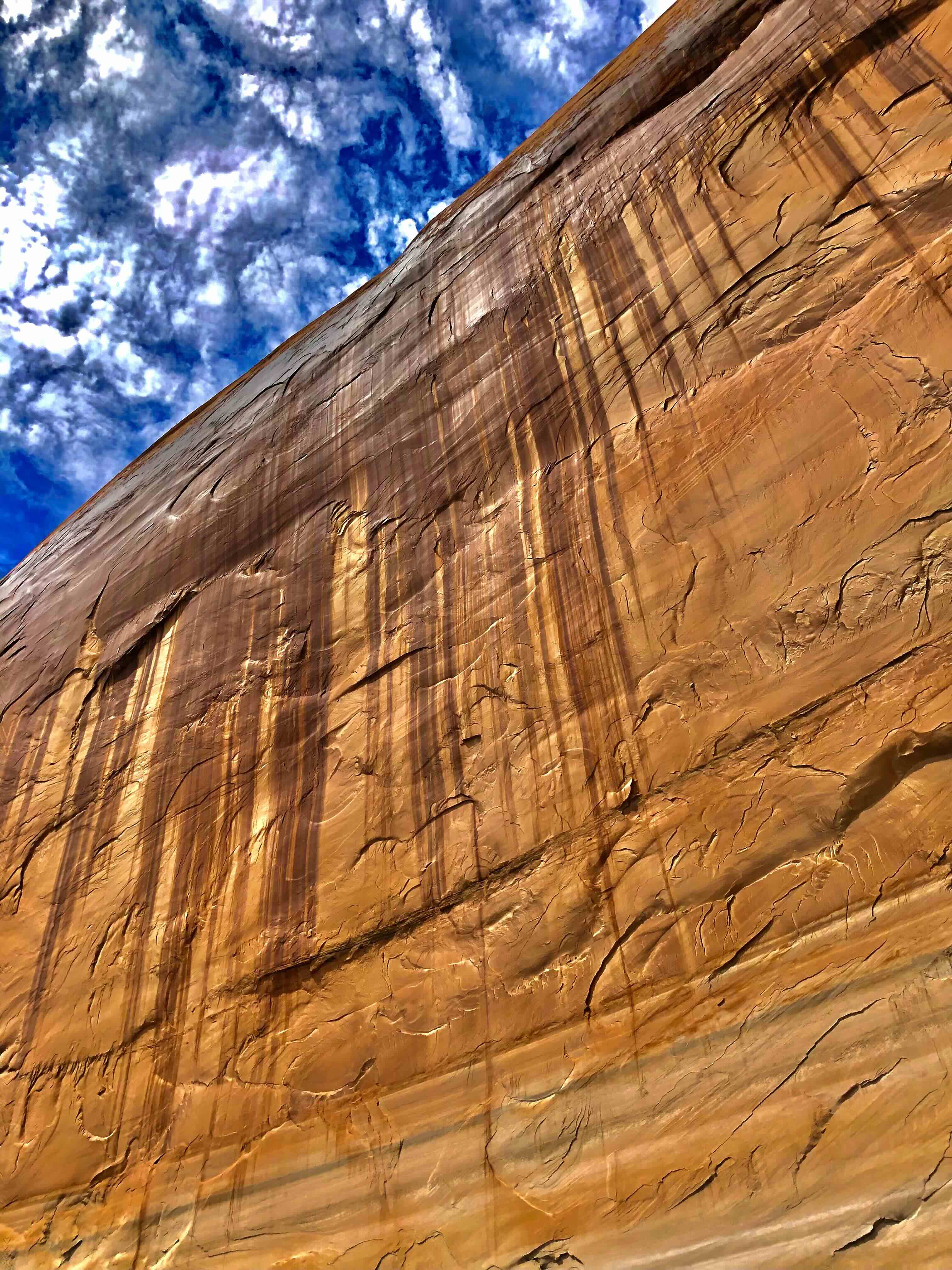
Meet John
John is a long-time explorer of Glen Canyon, an independent researcher, photographer, and writer. For over four decades, he has navigated the waters, slot canyons, and sandstones of the Colorado River system, capturing the changing conditions as reservoir levels fluctuated.
His work bridges the gap between historical archival documentation and active environmental inquiry, producing maps, texts, and photo series that serve both scientific and narrative purposes. He is also the author of the book Uncovered.
Learn About His Book